Wakulla County Future Land Use Map Explained: Densities, Rules, and How to Decode Public Notices Part 2 of the 4-Part Series: Wakulla County Land Use Rules – The Citizen’s Guide
In Part 2 of this series, we examine the Comprehensive Plan and Future Land Use (FLU) Map - the top layer that sets the long-term vision and maximum density limits for every parcel in Wakulla County. This guide explains the key FLU categories, their actual densities and rules, and how to use the interactive GIS map to understand what a rezoning or plan amendment notice really means.
DEVELOPMENT & INFRASTRUCTURE2026
Nancy Wake
3/31/20263 min read
Understanding the Comprehensive Plan & Future Land Use (FLU) Map
This is Part 2 of the four‑part series on Wakulla County’s land use system. Part 1 provided the high‑level overview of how the three layers: Comprehensive Plan, zoning, and permits, work together. This section focuses on the top layer: The Comprehensive Plan and Future Land Use (FLU) Map, which sets the long‑term policy direction and maximum development limits for every parcel in the county. Newspaper notices for public hearings often reference changes to the Future Land Use category, such as: “Comprehensive Plan Amendment – Change from Rural‑2 to Urban‑1.” Understanding these categories helps residents interpret what a proposed change would actually allow.
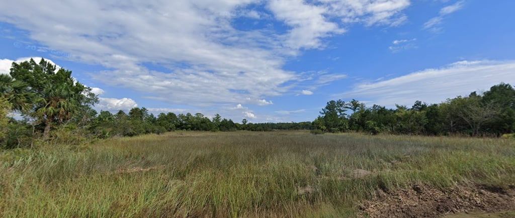
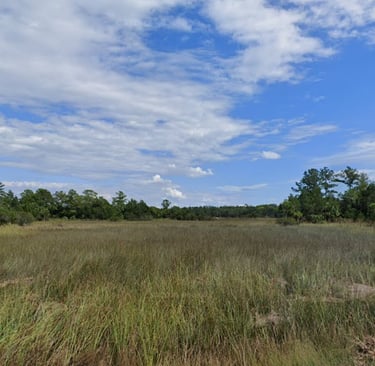
The Future Land Use Map: Wakulla County’s Growth Framework
The Comprehensive Plan, required by Florida Statutes Chapter 163, establishes the county’s long‑term vision for growth over 20–30 years. The Future Land Use Element includes an interactive map (available on the county GIS portal) that assigns every parcel one of several land use categories. Any rezoning, subdivision, or major development must be consistent with the parcel’s assigned Future Land Use category.
Changing a parcel’s category requires a formal Comprehensive Plan Amendment, which involves:
public hearings
and, for larger changes, state review
⚠️ Important Note on Densities
Maximum densities listed below are ceilings, not guarantees.
In practice:
The Board of County Commissioners does not always strictly enforce these maximum limits or the associated site‑specific constraints.
Actual development potential is often higher than the stated maximums suggest, depending on how the commission interprets and applies the rules case‑by‑case.
Site‑specific factors - wetlands, Coastal High‑Hazard Areas (CHHA), lack of central water/sewer, concurrency, environmental protections -can reduce allowable density, but these constraints are not always applied consistently.
🏷️ Future Land Use Categories and Their Key Standards
Below are the primary FLU categories with their maximum residential densities, commercial intensity (FAR), typical allowed uses, and intended purpose.
🌾 Agriculture (Primary)
Max density: 1 unit per 20 acres (outside wetlands); 1 per 40 acres (wetlands)
Commercial FAR: 0.05
Uses: Farms, timber, rural estates
Purpose: Preserve large‑scale rural/agricultural land and prevent premature subdivision
🌿 Rural‑1 (Agriculture/Rural Fringe)
Max density:
1 per 5 acres (paved roads, outside wetlands)
1 per 10 acres (unpaved roads)
1 per 20 acres (wetlands)
Commercial FAR: 0.05
Uses: Low‑impact rural residential + agriculture
Purpose: Maintain very low‑density rural character with agricultural emphasis
🌾 Rural‑2
Max density:
1 per 2 acres (with central water)
1 per 5 acres (no central water)
1 per 20 acres (wetlands)
Commercial FAR: 0.15 (min. 1‑acre lot)
Uses: Rural homes + small‑scale neighborhood commercial
Purpose: Slightly more flexibility than Rural‑1 while staying low‑impact
🏡 Rural‑3 (Rural Residential)
Max density:
1 per 1 acre (with central water/sewer)
1 per 5 acres (no utilities)
Commercial FAR: 0.15 (min. 1 acre)
Uses: Single‑family homes + some small commercial
Purpose: Transition from rural to semi‑suburban development
🏘️ Urban‑1 (Urban Fringe)
Max density: Up to 2 units/acre (with utilities, outside wetlands/CHHA)
Commercial FAR: 0.15 (no utilities) → 0.3 (with utilities)
Uses: Transitional suburban development, single‑family + limited multi‑family
Purpose: Focus growth near towns where services can extend
🏙️ Urban‑2 (Urban Service/Core)
Max density:
Up to 10 units/acre (with utilities, outside CHHA/wetlands)
4 units/acre (CHHA with utilities)
1 per 20 acres (wetlands)
Commercial FAR: 0.5 (with utilities); 0.15 (without)
Uses: Higher‑density residential, offices, retail
Purpose: Concentrate intense development in serviced areas
🌱 Sustainable Community
Max density:
Up to 10 units/acre (outside Coastal High-Hazard Area with utilities)
4 units/acre (Coastal High-Hazard Area with utilities)
Commercial FAR: 0.5
Uses: Planned mixed‑use with sustainable design
Purpose: Promote efficient, clustered growth
🧭 Northeast Wakulla County Sustainable Community
Max density: Area‑wide caps (~650 single‑family + 150 multi‑family units)
Uses: Targeted planned development
Purpose: Guide and manage growth in the northeast quadrant
🌳 Conservation
Max density: 1 per 40 acres
Uses: Protected natural areas
Purpose: Preserve sensitive ecosystems
🌲 Conservation Residential
Max density: 1 per 3 acres (min. lot 0.25 acre)
Uses: Very low‑density residential
Purpose: Balance limited housing with resource protection
🏢 Other FLU Categories
Wakulla County also includes:
Commercial (Non‑Urban)
Industrial
Public Facilities
Town Center
Suburban Transitioning
Special Area Plans (SAPs)
These are primarily business‑ or public‑use oriented or contain site‑specific rules rather than broad residential density allowances.
📰 How to Use This Information with Newspaper Ads
When reviewing a public notice:
1️⃣ Locate the parcel
Use the county GIS portal:
https://gis-portal-update-wakullaplanning.hub.arcgis.com
2️⃣ Note the current category & maximum density
3️⃣ Compare the proposal to existing limits
If the request seeks significantly higher density or different uses, it likely requires a Comprehensive Plan Amendment.
4️⃣ Evaluate alignment with county policy
The Comprehensive Plan emphasizes:
concentrating development in serviced areas
protecting rural, agricultural, and conservation lands
However — as noted — actual BOCC decisions may not always strictly follow these standards.
📌 Next: Part 3
Part 3 will examine the zoning districts in detail and explain what each district permits.
📚 Reference Links
GIS Portal (FLU & Zoning Maps):
https://gis-portal-update-wakullaplanning.hub.arcgis.comPlanning & Zoning Division:
https://www.mywakulla.com/departments/planning_and_community_development/departments/planning_and_zoningLand Development Code:
https://library.municode.com/fl/wakulla_county/codes/code_of_ordinancesPublic Notices & Agendas:
https://www.mywakulla.comPlanning & Zoning Contact:
850‑926‑3695 | planning@mywakulla.com
This post is part of a neutral educational series intended to help residents better understand Wakulla County’s land use system. For specific advice on a property or proposal, please contact the Planning & Zoning Division.
Additional Social Links
YouTube is your go-to for short clips, video explainers, and visual breakdowns of how Florida and Wakulla governments really work.
Facebook brings you bite-sized written content, sticky-note facts, and rolling updates you can share and discuss.
NEW! TikTok You can now follow Wakulla Reports on TikTok for quick updates and BOCC video clips.
Prefer to browse at your own pace?
Bookmark our website and visit anytime for fresh posts, resources, and real-life examples from right here in Wakulla County.
© 2024. All rights reserved.